
Amherst Neighbors: Block Sources
Public records can describe the block around an Amherst address in layers. Erie GIS shows parcel lines and map context. Amherst CPI and the assessment roll identify taxable ownership fields. Erie County Clerk records add a transfer trail. Election and historical sources have their own access rules. None is a census of every household. Use the source that fits the question and keep ownership, occupancy, registration, and historical directory evidence separate.
| Block source | What it can show | Access |
|---|---|---|
| Erie GIS parcel viewer | Adjacent parcel geometry, streets, ZIPs, districts and map context | Free map and query tools. |
| Amherst CPI and final roll | Taxable owner, mailing field, class, value, exemption and SBL per parcel | Public current and annual sources; an owner is not all occupants. |
| Erie Clerk BrowserView | Recorded parties, transfer date, document type, book/page or instrument | Free index; image and request rules apply. |
| Erie BOE voter-file route | Permitted registration, address and district fields | Written request, formats, fees, use limits and protected records. |
| Directories and Amherst Bee | Historical address, civic, obituary and organization clues | Library, museum, or BNHV access; years vary. |
Current taxable ownership can differ from where mail goes, who resides there, or whether a public historical directory listed someone. Date every item. That practice keeps an Amherst neighbors search from making a broader claim than the record allows.
Map an Amherst Block by Parcel
Use the Erie County GIS map service to locate the target by address or SBL, turn on the parcel layer, and keep the map close enough to read parcel lines and street labels. Select the target parcel first. Then use identify or select on each adjoining polygon and record the parcel's SBL and municipal context. GIS documents address, owner, and SBL query support, along with layer, identify, query, map-export, and Pictometry tools. A current viewer release can name the controls differently.
- Find the Amherst target parcel by address or SBL and note its boundary, street, and municipality.
- Select an adjacent parcel and retain its SBL rather than copying only a map label.
- Open Amherst CPI or the final assessment roll for the recorded owner and mailing fields.
- Use BrowserView for a dated transfer or legal-description question, then label every result by record type and date.
This is a map-to-record loop: target parcel to adjacent geometry, then SBL, CPI or roll, deed index, and historical directory where needed. For the wider chain along a named road, use the Amherst street directory rather than treating a few adjoining parcels as the whole street.
Amherst Neighbors in GIS Layers
Erie GIS supplies more than parcel outlines. Its documented layers include streets and highways, ZIP codes, school and legislative districts, streams, lakes and ponds, wetlands, floodplains, agricultural districts, and soils. These layers help describe the setting shared by Amherst neighbors without creating a list of households. A school-district or ZIP layer is a geography result. It is not evidence of a child, household member, or current resident.
The Town of Amherst community topics page is the source for this Amherst neighbors image.
The Town source linked in the image is a topic and department starting point, not a verified member directory. GIS data are provided as-is and are not a legal survey. A map boundary needs CPI, a deed, or the responsible custodian when the question concerns ownership or a legal parcel line.
Check Amherst Neighbor Parcels Carefully
Amherst CPI accepts a street number and street name, SBL, or owner last name. It distinguishes the situs from the mailing address. The situs is the taxable parcel location. The mailing line may be a PO box, organization, trustee, tax representative, or another municipality. A property card can therefore help identify the parcel and its current assessment owner without proving who lives there.
For a recorded transfer, search Erie Clerk BrowserView by party name, parcel ID, map number, document type, Town, and date. BrowserView does not search land records by street address. The land index begins in 1986; documents themselves extend much earlier, with older access through the Clerk's office and its records methods. Images can be viewed under the Clerk's applicable portal or office conditions, and mail or counter requests require the details known for the document.
A parcel polygon, a CPI owner, and a recorded grantee each answer a different question. The legal description and SBL should remain the continuity keys when lot lines, subdivisions, mailing labels, or addresses change.
Amherst Neighbor Voter Record Limits
New York Election Law §5-602 allows annual voter lists for inspection and allows them to be arranged by election district and, where used, by street and number or alphabetically. Erie County's separate FOIL form can request a Town, Ward, or District scope, party selection, address or name sorting, and selected fields such as address, phone, date of birth, gender, district, or voting history. The request form says a CD starts at $25, paper copies are 25 cents per page, payment is due in advance, and some requests take longer than five business days.
Erie County Board of Elections information is the public starting route for current voter resources, FOIL, and apportionment information.
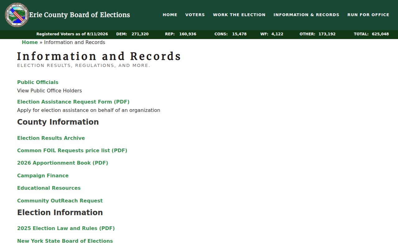
The Board's August 2026 snapshot reports 625,048 registered voters countywide, not an Amherst block total. The one-person NYS Voter Lookup is a confirmation form requiring county, name, date of birth, and ZIP. It is not a public block browser. Confidential registrations, protected addresses, Social Security numbers, DMV identifiers, and facsimiles remain outside ordinary public access.
Amherst Community Records Around a Block
The official Town pages expose department and topic links, but the research did not locate one complete Town of Amherst directory of neighborhood associations or public membership rosters. That gap matters. Do not assume a private association list is public or invent an association name from a map label. Public officer names, meeting notices, published boundaries, and organization pages are useful only when the organization itself publishes them.
| Community source | What is available | Access route |
|---|---|---|
| Town of Amherst topics | Public department and topic links, not a universal association roster | Town topics page |
| BNHV Amherst Library | Amherst Bee, subject files, directories, selected church and census material, tax rolls | Appointment-based research at 3755 Tonawanda Creek Road. |
| Buffalo History Museum | Directory, obituary, newspaper, membership, church and architectural collections | Limited appointment research; collection-specific access. |
| Congregation or civic page | Only public officers, meeting notices, or boundaries published by that source | Ask the organization; private membership data are not assumed public. |
BNHV's Amherst Bee microfilm runs from 1879 to 2012 and can place a block in local civic history through meetings, events, obituaries, and organization notices. It is a historical continuity source, not a present-day roster.
B&ECPL adds city directories, federal census material, church and cemetery sources, and local-history guidance. The Buffalo History Museum adds a broad directory and obituary layer, with appointment-based research for its holdings. Search a name against the collection's year and place coverage before calling it an Amherst match. A directory entry can suggest an address or organization connection, while a deed and assessment record test the parcel relationship.
Amherst Neighbors: Source Quality Matters
Commercial neighbor-search products are a category, not an authoritative block record. They can combine parcel, directory, marketing, and brokered material, merge nearby people, keep old addresses, and omit the actual parcel boundary. Official sources are narrower, but their limits are visible and tied to a responsible custodian.
Erie GIS describes its current parcel layer as current to 2025, while also warning that update frequency is not guaranteed and that map data are not a legal survey. The January 2026 County release of 2025 tax-parcel data makes the layer useful for a current map check, but a dated deed, assessment record, or custodian response remains necessary when a boundary or ownership point needs confirmation.
| Source type | Best use | Critical limit |
|---|---|---|
| GIS and assessment records | Adjacent parcels, map context, taxable owner and SBL | Not a list of all occupants or a legal survey. |
| Recorded deed index | Dated parties, instrument, legal description and title event | Address is not the primary search field; images have separate access. |
| Election request route | Permitted registration and district information under the form | Protected registrations and statutory limits remain. |
| Commercial compiled result | A lead that must be independently checked | May be stale, mismatched, or detached from the actual block boundary. |
Neighbor Lookup Privacy in Amherst
FOIL, New York's Public Officers Law Article 6, §§84–90, opens identifiable agency records unless an exemption applies. It does not make an address a universal public-person record. Vital certificates, sealed court material, adoption records, DMV data, utility customers, delivery data, Address Confidentiality Program residences, and confidential voter registrations have separate protections. New York Election Law §5-508 keeps qualifying confidential registrations separate from ordinary address lists.
Use the minimum information needed for a lawful block question. An absence from a parcel, voter, or archive source can reflect a protected record, a separate custodian, a historical gap, or the limits of the source. Contact the responsible office for an allowed request or archive route rather than attempting to fill the gap with private data.
Lawful use. Use Amherst neighbor records for personal, lawful research, civic context, family history, or an estate question. Never use a result to stalk, harass, intimidate, or harm anyone.