
Amherst ZIP Code Directory Coverage
Amherst is an Erie County town with more than one postal place name. Town planning and school materials, University at Buffalo address pages, assessment records, and county GIS all show why a single ZIP cannot stand in for the town. The table is the best official-source synthesis available. For a specific delivery address, use USPS rather than treating a general ZIP description as a final boundary decision.
| ZIP code | Amherst relationship | Postal label | Local note |
|---|---|---|---|
| 14051 | East and northern Amherst context; reaches toward Clarence | East Amherst | Postal area extends beyond the town. |
| 14068 | Central and northern Amherst mailing area | Getzville | Listed in the Town parks plan as a common Amherst ZIP. |
| 14221 | Eastern and southern suburban Amherst; also reaches Clarence | Williamsville | The label does not settle a village or town line. |
| 14226 | Amherst with nearby Snyder and Eggertsville context | Amherst | School street examples also show neighboring-place conventions. |
| 14228 | Western and northern Amherst | Amherst | Town agricultural material identifies this area directly. |
| 14260 | University at Buffalo North Campus institutional addresses | Amherst / UB North Campus | Not a general residential assumption. |
| 14261 | UB North Campus and Ellicott Complex institutional addresses | Amherst / UB North Campus | Not a general residential assumption. |
| 14231 | Assessment-record mailing label | Williamsville PO boxes | Treat as mailing-only unless USPS verifies a delivery address. |
These postal areas cross the town's municipal and place-name patterns. In Amherst, Williamsville, East Amherst, Getzville, and university labels can appear beside an address without changing the Town of Amherst record custodian.
Amherst Postal Places and Town Lines
Town material describes Amherst as roughly 53.6 square miles with more than 122,000 residents, so its delivery geography is larger and more varied than one postal label. The 2018 parks and recreation plan identifies 14221, 14226, 14228, 14051, and 14068 in its Amherst service context. The agricultural-resources material places much of western and northern Amherst in 14228 and eastern North Amherst in 14051, with a reach toward Clarence. Those statements describe service areas, not a legal boundary survey.
The Town assessor, Building Department, and planning records use parcel and local-address information. Erie GIS supplies municipality and map context. A ZIP result should be read with those sources when a Williamsville, Getzville, East Amherst, or Amherst label seems to conflict with the location of a parcel.
Why Amherst 14231 Is a Mailing Clue
A Williamsville PO-box ZIP can appear in a Town of Amherst assessment record beside a physical situs somewhere else. The 2024 final roll includes a PO Box 827, Williamsville NY 14231 as a mailing line for an Amherst parcel. That record is useful because it demonstrates the difference between where tax correspondence is sent and where the taxable land sits. It does not show a physical neighborhood for the PO-box ZIP.
The same caution applies to organizations, trustees, tax representatives, and out-of-town mailing addresses. Use the parcel's situs and SBL for property research, and verify the delivery ZIP with USPS for mail. Do not turn a mailing line into an occupant or location claim without a separate source.
Amherst Central School District street-guide examples use 14226 for Amherst, 14221 for Williamsville, and 14225 for Cheektowaga. Those examples reinforce the same point: an accepted postal-place label is not a municipal boundary determination. Compare the local street, parcel municipality, and delivery result rather than relying on the city name printed beside a ZIP.
Amherst ZIP Code Maps in Erie GIS
The Erie County GIS map service supplies the map layer that makes a ZIP code useful alongside parcel geometry. Erie GIS documents streets, parcels, ZIP codes, school and legislative districts, wetlands, flood context, agricultural districts, and soils. Search an address or SBL, select a parcel, then turn on the ZIP layer to see the postal geography around it. GIS data are supplied as-is, updates are not guaranteed, and the map is not a legal survey.
The County GIS ZIP and municipal map service is the source for this Amherst ZIP code directory image.
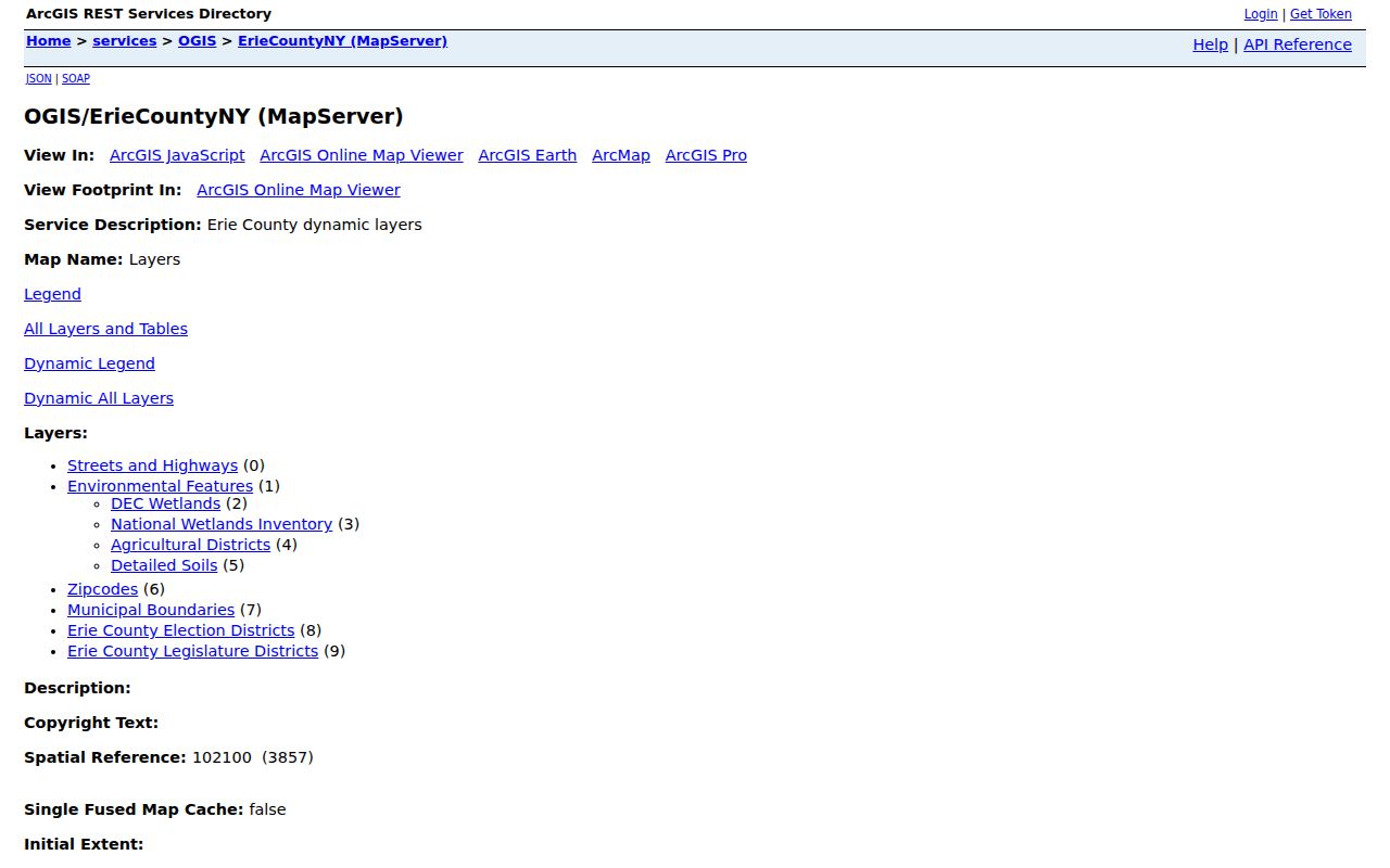
Use the selected parcel's SBL to continue into Amherst CPI for assessment information or Erie Clerk BrowserView for recorded documents. The polygon does not establish a deed boundary, a current occupant, or a complete resident list.
| GIS control | ZIP-related use |
|---|---|
| Address, owner, or SBL query | Find the parcel that needs a postal check. |
| Map and layer list | Turn on parcels, streets, ZIPs, districts, and environmental context. |
| Identify or select parcel | Open attributes where the layer supports identify. |
| Find Data or query | Use the documented query and export tools for map data, not a household roster. |
Find Amherst Records by ZIP Code
A ZIP code narrows some official searches but is not the common key across Amherst systems. The NYS Voter Lookup marks county, last name, first name, date of birth, and ZIP code as required fields for a person's own registration confirmation. It is not a ZIP-wide browse. Amherst CPI searches street number and name, SBL, or owner name, not ZIP. BAS similarly uses address, owner/business, SBL, and street modes. BrowserView has Town, party, parcel, document, and date filters, but not a situs-ZIP field.
The field differences explain why ZIP searching works best as a sequence. The voter form combines the ZIP with a specific person's county, name, and date of birth. Erie GIS uses its ZIP layer to put a parcel in postal context. CPI then uses the address or SBL for the assessment record, while BrowserView uses a party, parcel or map number, document type, Town, and date. The County Clerk's route is a recorded-land search, not a postal-address search.
- Verify the delivery ZIP for the full address with USPS.
- Open Erie GIS, use the address or SBL, and view the ZIP polygon with the parcel.
- Use Amherst CPI for the parcel or owner fields, then retain the SBL and situs as the record keys.
- For a lawful voter-file request, describe the Amherst Town, Ward, or District scope and choose the permitted sorting and fields instead of asking for a ZIP browse.
Once a ZIP has narrowed the area to a particular road, the Amherst street directory supplies the separate address-keyed record trail.
USPS Checks for Amherst ZIP Codes
USPS ZIP Code Lookup is the final delivery check for a full street address, city and state, or a known ZIP. It returns postal city, state, and ZIP information for the address entered. This is the right route when a parcel near a town line has a Williamsville, East Amherst, Getzville, or Amherst label that seems unexpected.
The official USPS lookup is shown below as the address-verification layer for this Amherst ZIP code directory.
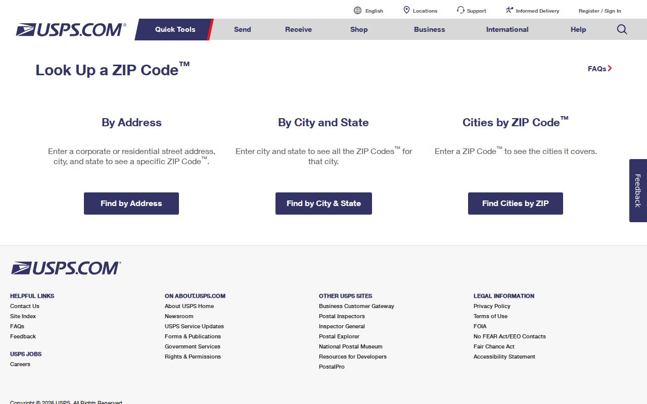
USPS verifies delivery geography. It is not a residents database and should not be used to infer who receives mail or who lives at a parcel.
The Town and County pages inspected did not provide a definitive parcel-by-parcel postal-boundary map or a published Amherst-wide readdressing project. When a delivery result conflicts with a local record, retain the full address, check the GIS municipality and SBL, and ask the Town office that maintains the relevant record about its current situs information.
Amherst's UB Institutional ZIP Codes
Two Amherst ZIP codes need special care. University at Buffalo uses 14260 for North Campus addresses, including 12 Capen Hall, and 14261 for the Ellicott Complex and 125 Lee Road. These are institutional postal contexts. A result under either code should be checked against the campus address and Town parcel or map information before it is treated as ordinary local-address evidence.
The University context also explains why a broad ZIP search cannot stand in for a person or parcel search. Campus buildings, Town parcels, public records, and postal delivery each use their own identifiers and coverage rules.
Amherst ZIP Code Boundary Limits
The best continuity key for recorded land is the legal description tied to an SBL, book/page, or instrument number, not a postal ZIP. A deed describes a lot, subdivision, metes-and-bounds, or another legal description. CPI and GIS use the situs and parcel. USPS uses delivery service. Keeping those systems separate prevents a ZIP boundary from being mistaken for a town line or a property line.
For older Amherst research, a road name or historic place label can also differ from a modern mailing convention. BNHV subject files, historic directories, maps, assessment legal descriptions, and GIS street layers are the appropriate comparison sources. The research did not locate a published Town or County readdressing table, so an address mismatch should be treated as a question for the custodians, not proof that a parcel or person disappeared.
- ZIP and ZIP+4
- A ZIP identifies a broad delivery area. ZIP+4 adds a more specific delivery segment within that area.
- PO-box ZIP
- A ZIP used for post-office boxes or mailing service. It does not, by itself, establish a physical residence.
- Unique ZIP
- A code associated with a major institution or organization, such as a campus address context.
- Carrier route
- A postal delivery grouping. It is not a municipal boundary or a parcel-owner list.
Note: Where a record needs a definitive address assignment, ask the Town office responsible for the record and compare the parcel's legal description.